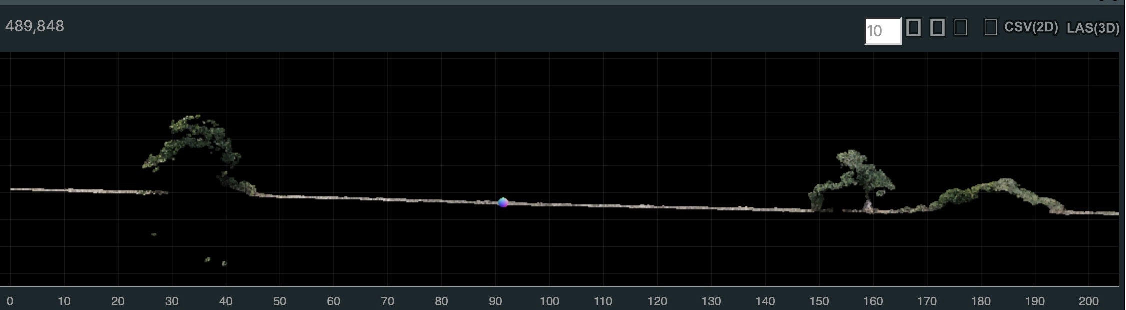
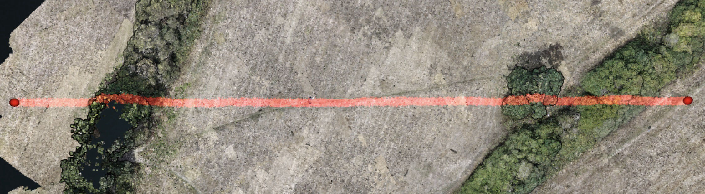
DSM & DTM

You may have seen my first 3D terrain model which was created from 2D photographs, but how?
I've been wondering how this works for a while, and what follows is my interpretation of everything I’ve read on the subject.

As the drone moves, it captures hundreds of photographs, with significant overlap between them so that the same features are captured from multiple viewpoints.

The software identifies unique features - such as corners, edges, or other recognisable points - and matches those features across multiple photographs. Because the drone has moved between each image, the same feature appears in a different position within each photograph.

This apparent change in position is called parallax, and it provides the geometric information needed to determine depth.
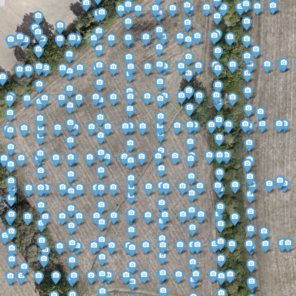
Camera Positions

The software initially doesn't know the exact position and orientation of the camera, or the precise 3D position of each feature. Through a process called Structure from Motion (SfM), it uses the matching features across the photos to estimate the camera positions and orientations, while simultaneously calculating the relative 3D position of the features.

The observations of the same feature from different camera positions can then be triangulated to determine a position in 3D space. A 3D point is generated for each successfully matched feature.

Repeating this process for potentially millions of features produces a point cloud model - a large collection of 3D points representing the photographed area.

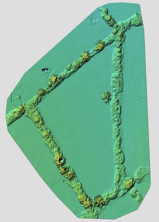
This point cloud can then be processed to create different types of surface models. A Digital Surface Model (DSM) represents the elevation of all visible surfaces, including things such as buildings, trees and other objects.

A Digital Terrain Model (DTM) is slightly different because it represents the underlying terrain. Points representing trees, buildings and other objects are detected (basically because they are sudden differences from the smoother terrain) and filtered out.

The remaining ground points then have gaps which are interpolated (with a certain amount of approximation) and used to generate the terrain beneath them.

Digital Surface Map

Drop me a message...

© Copyright 2026 GISMaps.co.uk

‌

AI Website Generator