Getting airborne!

It's been a couple of months now, and I've waded through tonnes of information, got thoroughly confused and at the same time got totally inspired. I'm very much enjoying discovering more about all things GIS.

To a certain extent, i'm struggling to do much without being able to use my own aerial photos, so I'm taking the expensive step of getting a drone.

Following the rules

Before actually pressing the 'checkout' button, I wanted to follow the required CAA registration route, and the first step was to read and understand the CAA Drone Code. It's quite interesting and has lots of good info about things you can and can't do.

Once I'd read that, it was test time. Forty multiple-choice questions - not too tricky but some certainly got me thinking. I rushed the test a little as I was on the tube at the time, on my way home from work. If I wanted to I could have referred to the booklet to check over the questions, but I kind of wanted to test myself on what I'd read and remembered. So I got three wrong! Still, that's a pass, so I have my Flyer ID. 

Next was an Operator ID - a legal requirement for a camera drone. Just a formality, registering with the CAA and paying the £12.34 fee. This ID will then need to be attached to the drone.

It's arrived

So the drone is here and pretty much at the same time as it arrived, the weather changed. Windy and patchy rain, oh perfect. But I've found some interesting websites for checking wind conditions, so will be keeping a close eye on those. My preferred at the moment is OkToFly.com which gives a nice red/amber/green (actually blue - no idea why) status for each hour at your location.
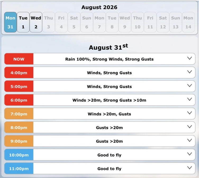
OKtoFly.com

First flight

Honestly, I was quite nervous about this. It's an expensive bit of kit and sending it skywards hoping to see it again was a bit of a leap of faith. Although generally I'm quite good at trusting technology.

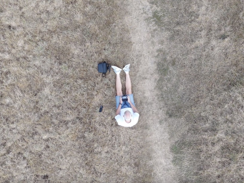
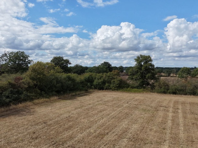
I found a quiet flat field, with no trees around and sat on the grass to get set up. All I wanted to do was take off, spin around and land, maybe take a photo or two. And that's exactly what I did, although it wasn't without incident. I didn't realise how much the grass, which was fairly tough and long, would interfere with the propellors. So the first location was a fail, I moved around a bit to find a trodden area where the blades of grass were lying flat enough. Even then, after landing the blades were clipping grass which triggered a warning on the controller. Oops - oh well, no harm done. Next time i'll take a mat or picnic blanket!

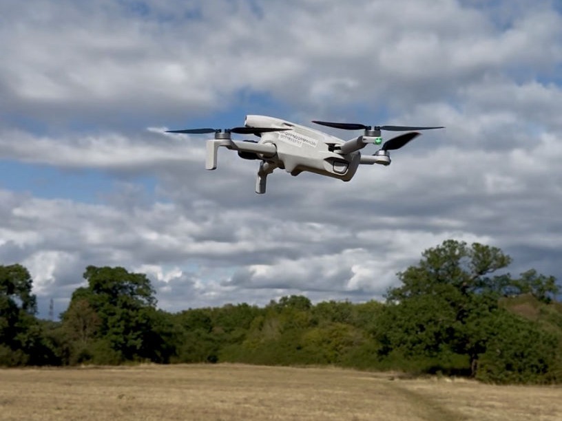
Take off was so easy, the controls are sensitive but also very smooth, the image stabilisation from the gimbal is incredible, and using the Return to Home function (although it was only 15m away) was reassuring for the first flight. 

Definitely need to spend some time learning the joystick controls, but not so much what they do - more like how they relate to a shrinking speck in the distance that you're not sure if it's travelling forwards or backwards, and did it just get higher or further away! 

Project 3

I'm feeling a little impatient now, and ready to jump in to Project 3, which is creating my first Orthomosaic.

Drop me a message...

© Copyright 2026 GISMaps.co.uk

‌

Drag & Drop Website Builder